Military & Defence
Advance Military Surveillance Technology
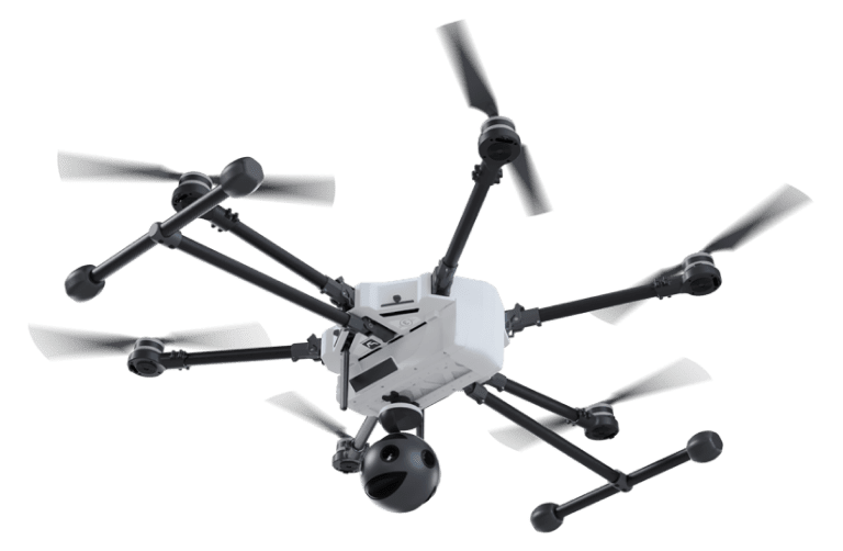
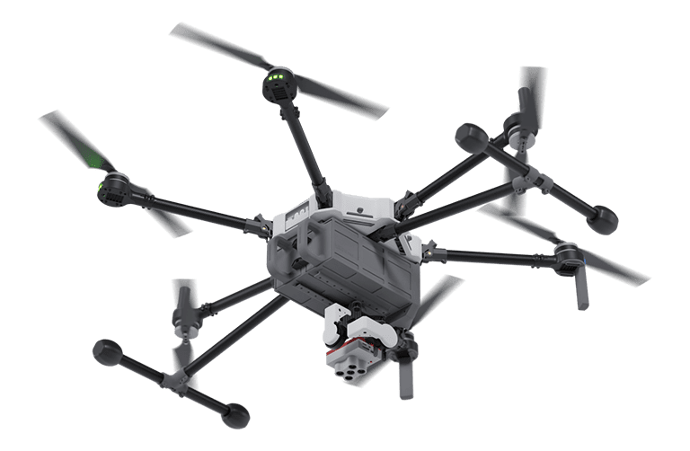
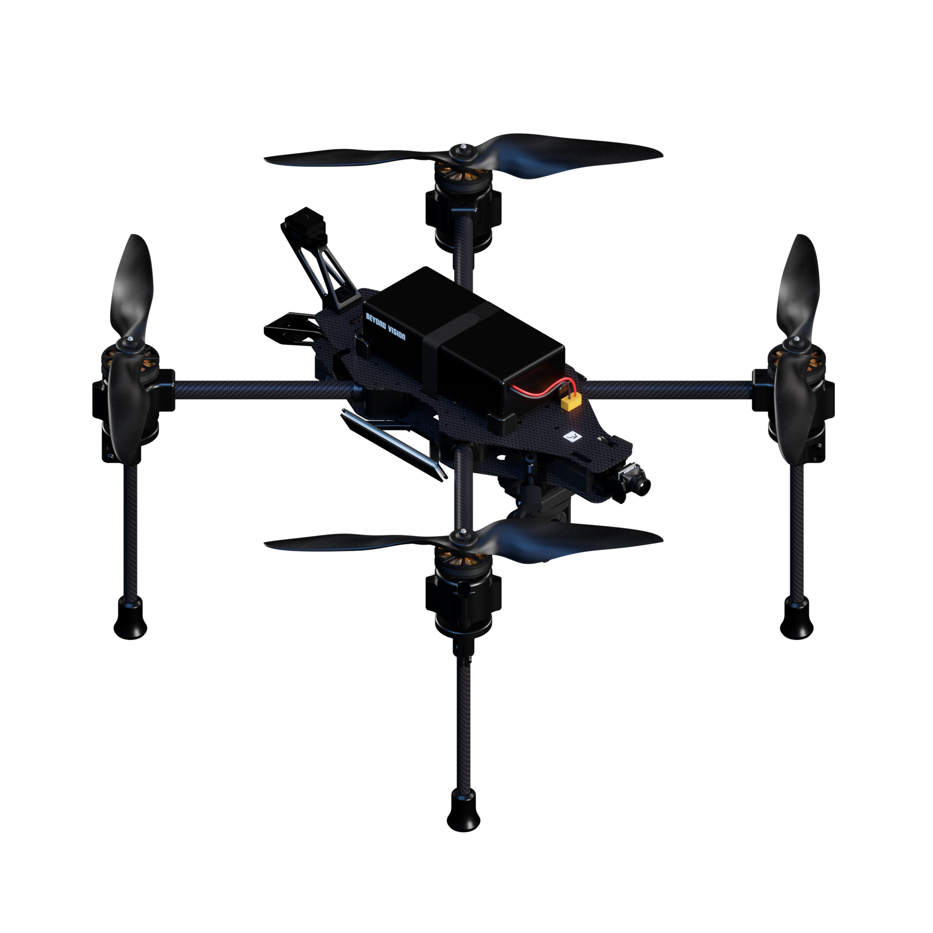
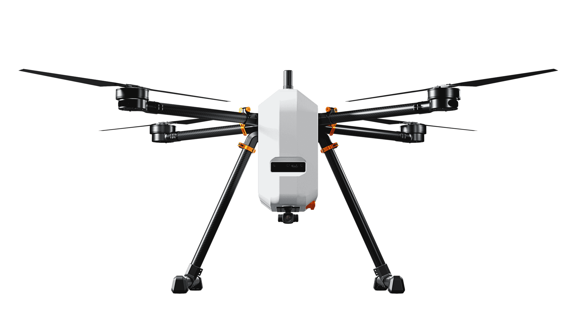
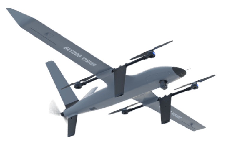
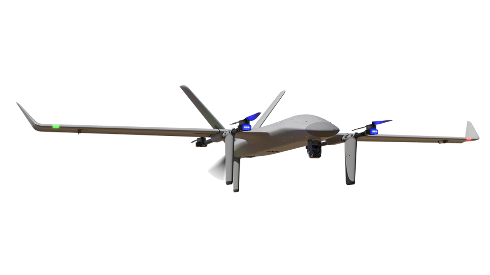
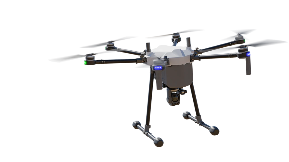
As the global security landscape evolves, the use of military unmanned aerial vehicles (UAVs) surveillance technology has become increasingly prevalent in military and defence operations. Beyond Vision is at the forefront of this technological revolution, providing cutting-edge UAV solutions tailored to meet the unique demands of modern warfare.
High-Performance UAVs for Challenging Environments
Intelligence Surveillance Reconnaissance
- RGB Mode
- Thermal Mode
- Zoom
- 3D Maps
- Tracking Mode
- Multispectral Maps
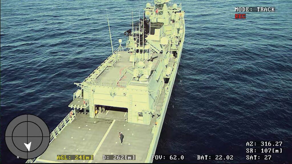
RGB Mode
Our drones come equipped with RGB mode, which allows for high-quality visual imaging during daylight conditions. With this mode, you can capture clear and crisp images from a distance, making it an excellent tool for reconnaissance missions.
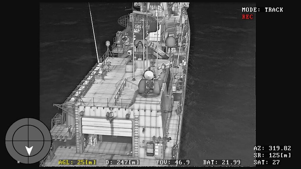
Thermal Mode
Our drones also come equipped with a thermal mode that enables you to capture thermal images of objects and people, even in low-light conditions. With this feature, you can detect heat signatures and quickly identify potential threats.
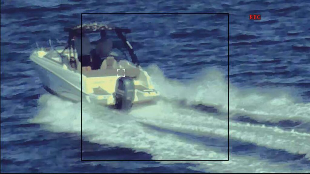
Zoom
Our drones have a powerful zoom feature, which allows you to get up-close images of objects and people from a distance. With this feature, you can capture detailed images of a target or area without putting anyone in harm’s way.
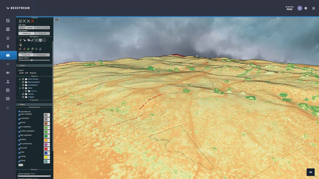
3D Maps
Our drones also offer 3D mapping capabilities, which enable you to create accurate and detailed maps of a target area. With this feature, you can get a better understanding of the terrain and identify potential obstacles.
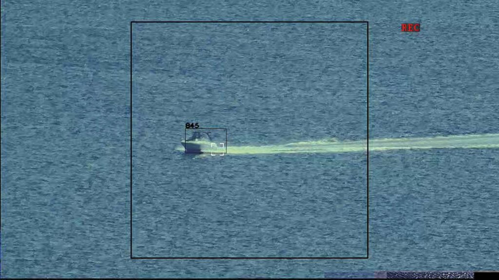
Tracking Mode
Our drones come equipped with tracking mode, which allows you to track a moving target in real-time. With this feature, you can follow a target and capture live footage, making it an excellent tool for surveillance missions.
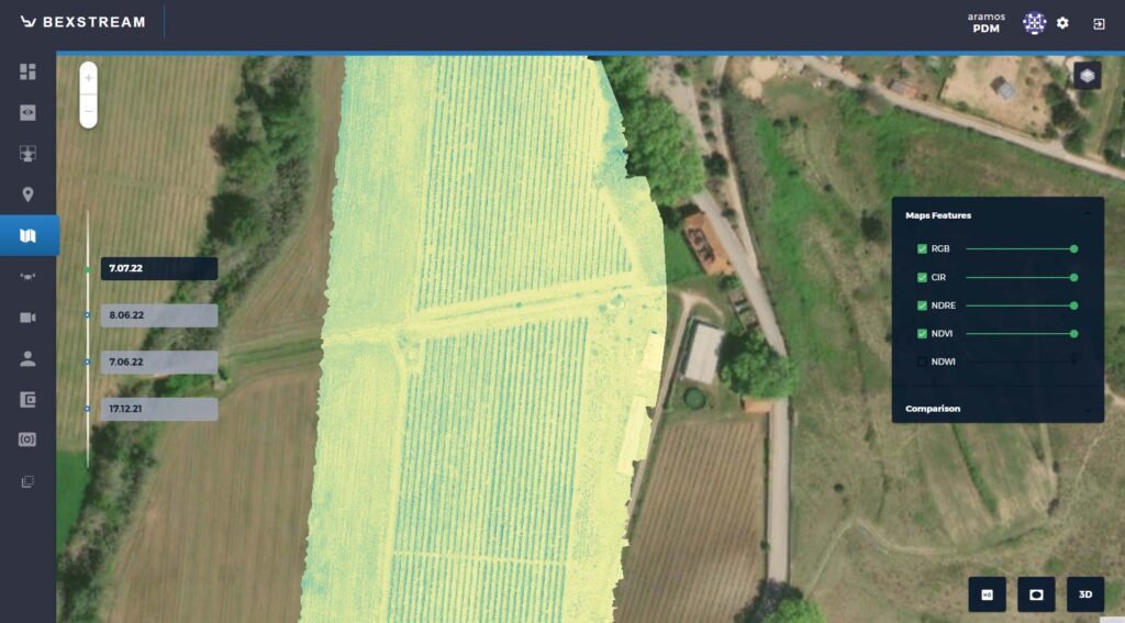
Multispectral Maps
Our drones also offer multispectral maps, which allow you to capture images in different wavelengths of light. With this feature, you can detect hidden objects or identify potential threats that may not be visible to the naked eye.
Intelligence Surveillance Reconnaissance

RGB Mode
Our drones come equipped with RGB mode, which allows for high-quality visual imaging during daylight conditions. With this mode, you can capture clear and crisp images from a distance, making it an excellent tool for reconnaissance missions.

Thermal Mode
Our drones also come equipped with a thermal mode that enables you to capture thermal images of objects and people, even in low-light conditions. With this feature, you can detect heat signatures and quickly identify potential threats.

Zoom
Our drones have a powerful zoom feature, which allows you to get up-close images of objects and people from a distance. With this feature, you can capture detailed images of a target or area without putting anyone in harm’s way.

3D Maps
Our drones also offer 3D mapping capabilities, which enable you to create accurate and detailed maps of a target area. With this feature, you can get a better understanding of the terrain and identify potential obstacles.

Tracking Mode
Our drones come equipped with tracking mode, which allows you to track a moving target in real-time. With this feature, you can follow a target and capture live footage, making it an excellent tool for surveillance missions.

Multispectral Maps
Our drones also offer multispectral maps, which allow you to capture images in different wavelengths of light. With this feature, you can detect hidden objects or identify potential threats that may not be visible to the naked eye.
Adaptable Integration for Defence Operations
Beyond Vision’s military surveillance technology is designed with versatility and adaptability in mind, allowing for a wide range of defence and security applications. With the ability to integrate various payloads and electronic warfare capabilities, our UAVs are customizable to meet the unique needs of each defence mission.
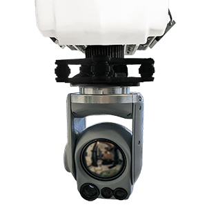
AI enabled with 80x zoom
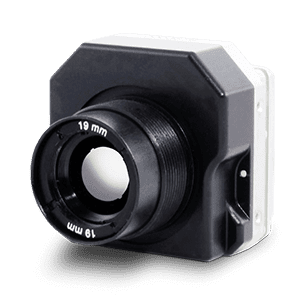
Longwave Infrared Thermal Camera Module
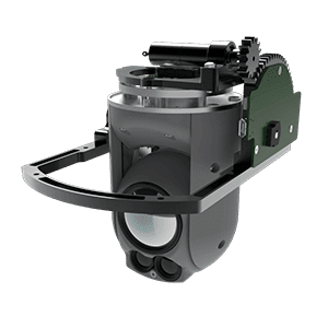
Retractile Mounting Gimbal
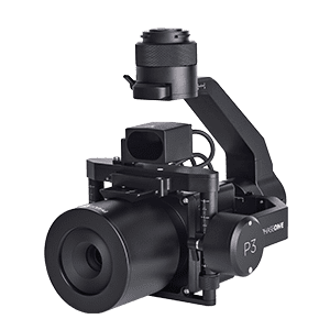
Up to 150MP Mapping Payloads
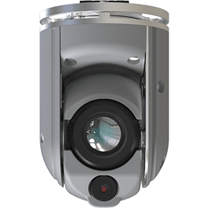
Lightweight RGB & thermal payloads
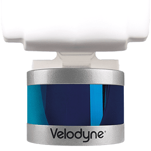
360º LiDAR
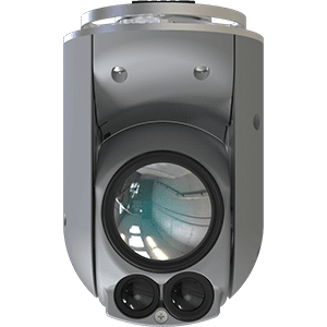
Multi-sensing payloads with HD thermal and night vision
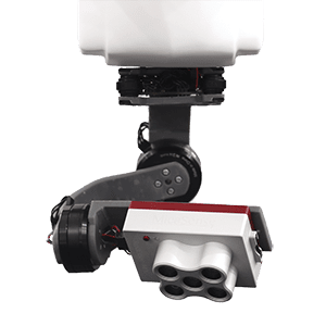
Multispectral Payloads

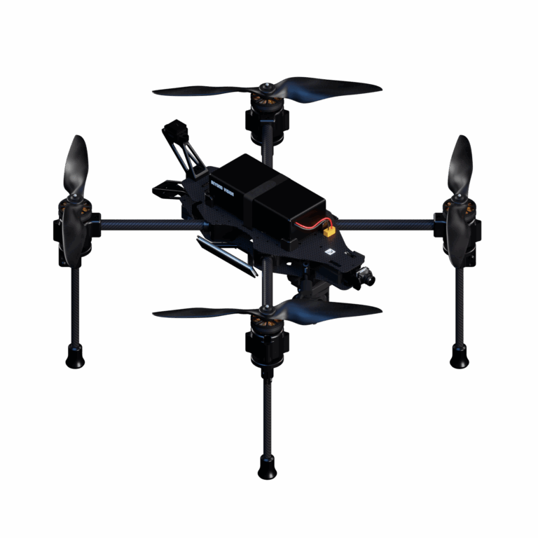
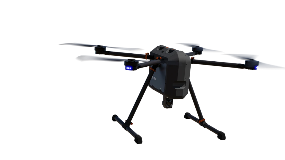
Class 3 Quadcopter
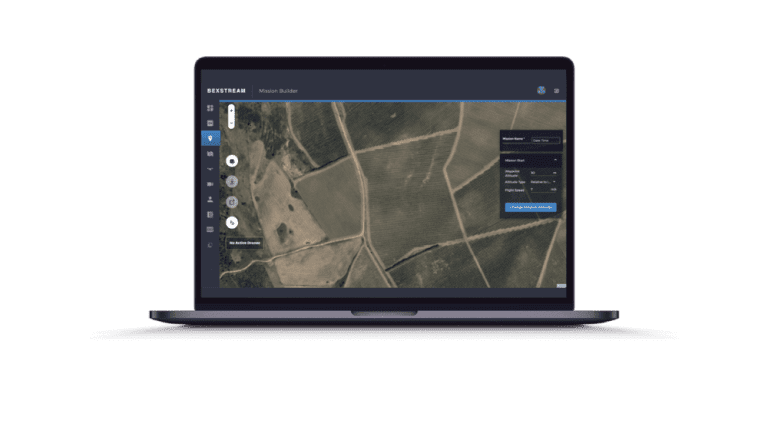
beXStream
Revolutionizing Operations with Total Remote Control
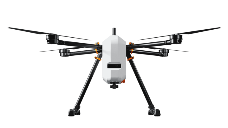
VTOne
Ideal for surveillance operations and large area mapping
Adaptable Integration for Defence Operations
Beyond Vision’s military surveillance technology is designed with versatility and adaptability in mind, allowing for a wide range of defence and security applications. With the ability to integrate various payloads and electronic warfare capabilities, our UAVs are customizable to meet the unique needs of each defence mission.

AI enabled with 80x zoom

Longwave Infrared Thermal Camera Module

Lightweight RGB & thermal payloads

360º LiDAR

Retractile Mounting Gimbal

Up to 150MP Mapping Payloads

Multi-sensing payloads with HD thermal and night vision

Multispectral Payloads
Cutting-Edge Military and Security Surveillance Technology
Leveraging our strong research and development (R&D) background, we offer state-of-the-art specifications that receive funding from EU projects. In addition, our military surveillance technology provides unbeatable value for the military, security, and defence sectors, offering highly capable and affordable options for upgrading capabilities. Furthermore, our UAVs have been successfully used in several military exercises and training operations.
Carry almost anything up to 3.5kg
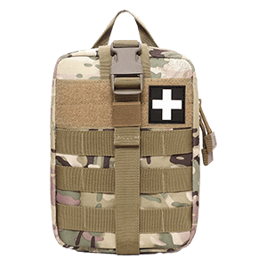
Individual First Aid Kit
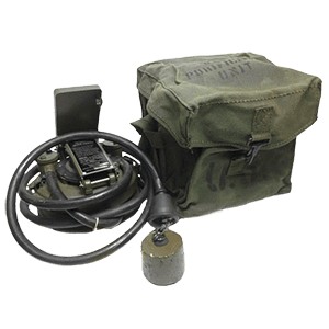
Water Purification Kit
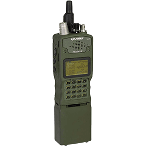
Tactical Radio
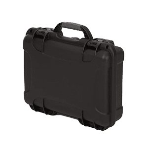
Small Pelican Case
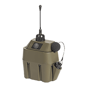
Unnattended Ground Sensor
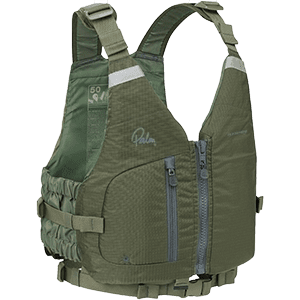
Life Vest
Carry almost anything up to 3.5kg

Individual First Aid Kit

Water Purification Kit

Small Pelican Case

Tactical Radio

Unnattended Ground Sensor

Life Vest
Enhance Your Productivity
beXStream
Remote Control Software
Download the Brochure
Find out more about the features and use cases!
